web mapping
photogrammetry
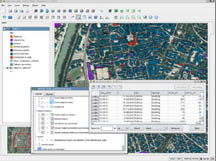
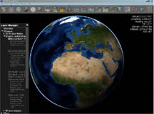
Geographical Information System

The Deputy Prime Minister of India Shri L K Advani
inaugurating the
Indian Institute of Geoinformatics (IIG) at New Delhi on 14
September 2000.
The Indian Institute of Geoinformatics (IIG) was established in the millennium year for promoting education and training in the areas of geographical information system, remote sensing, geoinformatics and related subjects. Inaugurated by the Deputy Prime Minister of India Shri L K Advani during the GIS month observance on 14 September 2000, the Indian Institute of Geoinformatics is engaged in a massive mass awareness and publications programme by conducting need based action oriented activities related to Aerial photography, Airborne Real-time Cueing Hyperspectral Enhanced Reconnaissance, Archaeological imagery, Cartography, CLidar, Coastal management, Crateology, Full spectral imaging, Geography, Geographic information system (GIS), GIS and hydrology, Geoinformatics, Geophysical survey, Global Positioning System (GPS), Hyperspectral, IEEE Geoscience and Remote Sensing Society, Imagery analysis, Imaging science, Land cover, Liquid crystal tunable filter, List of Earth observation satellites, Mobile mapping, Multispectral pattern recognition, National Center for Remote Sensing, Air and Space Law, National LIDAR Dataset, Orthophoto, Pictometry, Radiometry, Remote monitoring and control, Remote sensing (archaeology), Remote sensing satellite and data overview, Satellite imagery, Sonar, Space probe, TopoFlight and Vector Map.

.
.